WHAT-WE-DO: The former turning basin of the Moorfleeter Canal in HH-Billbrook was backfilled with contaminated sediments from the Moorfleeter Canal from the end of the 1990s and then covered with sand. Since 2001, further excavated soil from various construction projects has been brought in here. To consolidate the subsoil, a total of approx. 150,000 m³ of excavated material from the construction of the U4 underground railway line was deposited between 2008 and 2010 as a 3 - 4 m high stockpile above the previously placed soil.
The excavated material from the U4 measure consists of approx. 110,000 m³ of mica clay with a geogenically elevated sulphate content and approx. 40,000 m³ of mixed soils (intermediate embankments, construction roads, etc.). The uppermost approx. 0.7 m to 1.0 m of the mica clay is heavily rooted as a result of the now high vegetation.
Now that the consolidation of the subsoil has been completed, the area of the former turning basin is to be used in future as a commercial area (e.g. lorry storage area, depot, etc.) as part of the planned development of the district. For this purpose, the excavated soil (mainly mica clay) deposited as a stockpile is to be removed from the area and, if possible, recycled.
Various utilisation options for the mica clay have been repeatedly considered since 2008, but each of these could not be pursued for various reasons. To date, however, there has been no comprehensive systematic compilation of possible uses/utilisation options for the preparation of a corresponding tender/award procedure.
M&P Hamburg was therefore commissioned with the "Mica Clay Market Survey".
Scope of services as part of the market survey:
- Familiarisation
- Market research 1st step: Research basic application / utilisation possibilities
- Market research 2nd step: Identification of potential companies / institutions
- Compilation of the results (steps 1 and 2) in this report
- Market research, 3rd step: clarification of further boundary conditions with the identified companies/institutions)
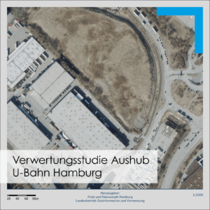
[Image source: Aerial photo: Free and Hanseatic City of Hamburg, State Office for Geoinformation and Surveying, 12/2020]
Find out more about our work and projects and follow us: ![]()
![]()
#mullandpartner #engineeringforabettertomorrow #whatwedo #floormanagement #surfacedevelopment #micaclay